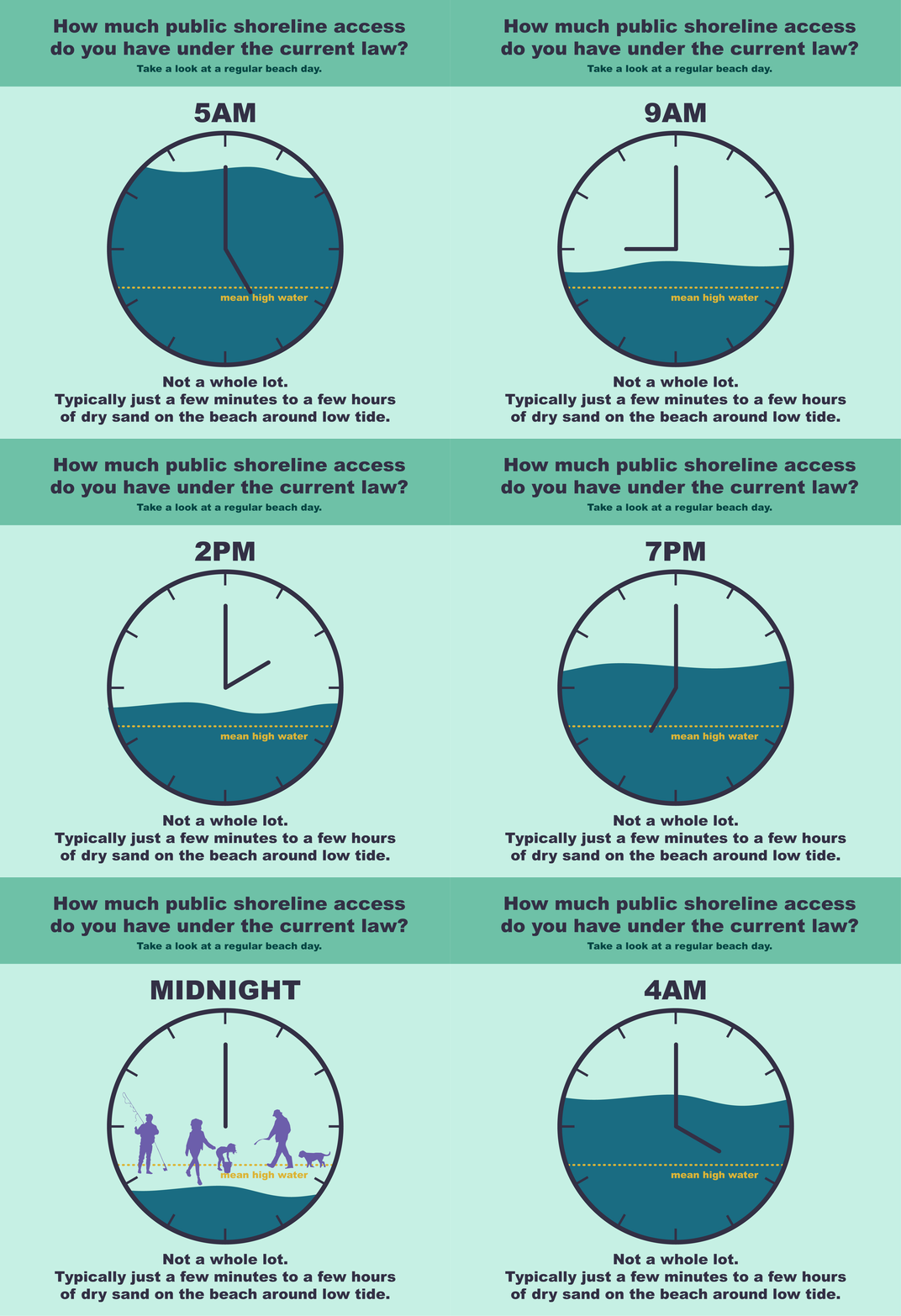
Where’s your line in the sand, Ocean State? Understanding the public’s right to access the shoreline in Rhode Island.
Information Design · Graphic Design · Data Visualization · Animation
Client: The Coastal Institute
In Rhode Island, “mean high water” is the invisible boundary to public land along the coast. But where the heck is mean high water? This set of information graphics helped bring a state House commission and public audiences up to speed on the concept of mean high water and how it impacts the public’s ability to access the shoreline.
Rack Card - Back and Front
Animation - Field Data Visualization
Postcard - Mean High Water Explainer - Back and Front


